Frontier Technology Portal Independent technology analysis / Updated daily
Frontier Technology Portal logo
FRONTIER Technology Portal for the next wave of invention

Category: Space Technology

Reusable launch, satellites, space infrastructure, exploration, and the new space economy.

  • Satellite Servicing Needs Standard Interfaces Before It Can Scale

    Satellite Servicing Needs Standard Interfaces Before It Can Scale

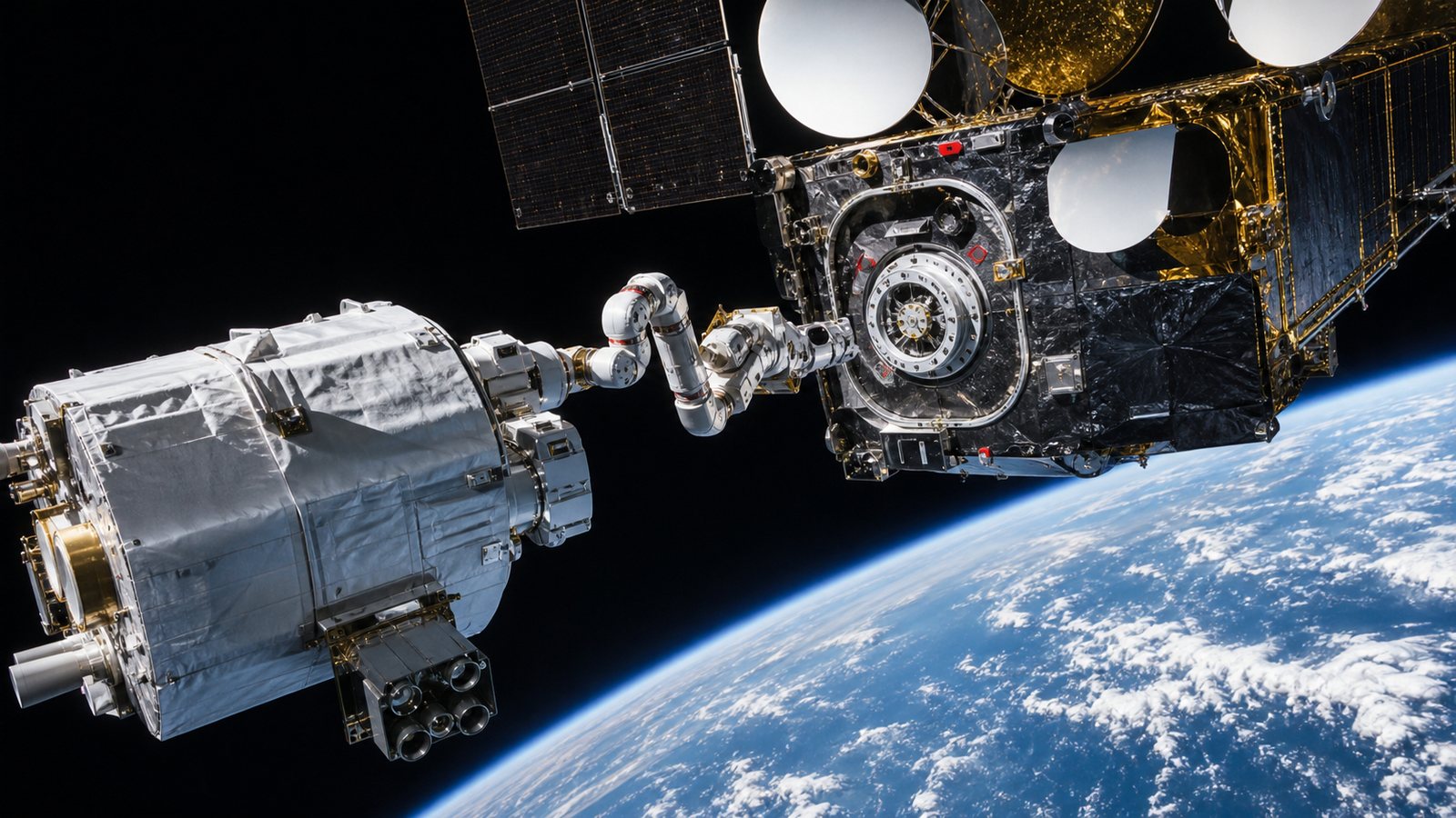
    Satellites are usually launched as sealed machines. When fuel runs low, a component fails, or a mission needs a new capability, operators have few options beyond careful workarounds and eventual retirement. In-space servicing promises a different model: inspect, refuel, reposition, repair, or upgrade a spacecraft after launch.

    The difficult part is not proving that two objects can meet in orbit. That has been demonstrated repeatedly. The challenge is turning exceptional missions into a dependable service market. Common interfaces, agreed rendezvous practices, transparent operating rules, and spacecraft designed to be serviced will matter as much as robotic arms.

    Servicing Covers More Than Refueling

    NASA uses the broader term in-space servicing, assembly, and manufacturing, or ISAM. Its ISAM overview includes inspection, relocation, refueling, repair, upgrading, assembly, and manufacturing. Those capabilities address different problems. A mission-extension vehicle can provide propulsion and attitude control, while another servicer might add fuel, attach a new payload, or examine damage before an operator decides what to do.

    Assembly and manufacturing also change what can be launched. A telescope, antenna, or solar array assembled in orbit is not restricted to fitting inside one rocket fairing in its final shape. That possibility links servicing to the wider development of high-capacity optical space networks, which may eventually need large apertures and maintainable infrastructure rather than isolated disposable spacecraft.

    None of this makes every satellite repairable. Radiation-damaged electronics buried inside a sealed structure are a different problem from an empty propellant tank or a failed external mechanism. A useful servicing strategy begins with a clear, reachable task.

    Space Has Already Supplied Important Proof Points

    Astronaut servicing of the Hubble Space Telescope showed how upgrades can transform a mission when a spacecraft is deliberately designed with accessible equipment. Robotic operations around the International Space Station have added another body of experience. In commercial geostationary orbit, mission-extension vehicles have docked with client satellites and taken over propulsion functions.

    NASA’s 2025 ISAM State of Play treats these examples as part of an emerging capability, not evidence that the market is already routine. Each mission still involves specialized engineering, close coordination, regulatory work, and a valuable client spacecraft. The next step is repeatability.

    ESA’s RISE mission, planned for launch in 2029, is intended to demonstrate rendezvous and docking with a geostationary client and then provide life-extension services. It is another test of whether servicing can move from one-off achievement toward an operational product.

    Cooperative Spacecraft Change the Risk Equation

    A cooperative client can provide navigation aids, known grapple points, accessible valves, docking geometry, and software modes for a safe approach. A non-cooperative satellite may have none of those features. It may be tumbling, offer little reliable position data, or contain protrusions and delicate surfaces that were never meant to be touched.

    That difference affects sensors, control algorithms, robotic tooling, mission duration, and insurance. Servicing a prepared satellite can resemble using an engineered port. Servicing an unprepared one is closer to working around an unknown machine without the benefit of a shared manual.

    Design-for-service does add mass, cost, testing, and cybersecurity responsibilities before launch. Operators need confidence that the future service value outweighs those penalties. Standard interfaces reduce that uncertainty by making a compatible port useful to more than one prospective servicer.

    Standards Need to Cover Behavior as Well as Hardware

    A universal connector alone will not create safe orbital servicing. Missions also need conventions for approach corridors, hold points, collision avoidance, abort behavior, communications, navigation data, fault handling, and post-mission disposal. Operators and regulators need to understand who remains responsible at each stage.

    ISO 24330:2022 provides programmatic principles and practices for rendezvous, proximity operations, and on-orbit servicing. Its scope is relevant to spacecraft operators, manufacturers, service providers, insurers, and other participants. Such guidance does not prescribe one docking mechanism, but it creates a common vocabulary for assessing a mission.

    Technical standards must also evolve alongside orbital debris and traffic-safety practices. A servicer that extends one satellite’s life should not create a new long-lived object or make collision coordination harder for everyone else.

    Prepared Interfaces Must Remain Secure

    A service port creates a deliberate path into a spacecraft’s physical or digital systems. Authentication is therefore essential. A client must distinguish its authorized servicer from an unexpected object, and the service transaction should expose only the commands and data needed for the job.

    That calls for protected communications, strong identity management, carefully limited command authority, and safe fallback modes. Long mission lives make cryptographic agility important: an interface designed today may still be active after current algorithms or keys need replacement.

    Operational records also matter. Insurers and future owners may need reliable evidence of what was attached, transferred, changed, or inspected. This resembles the data-governance challenge of building interoperable lunar communications and navigation services: shared infrastructure works only when technical compatibility and trust develop together.

    The Economics Depend on Remaining Mission Value

    A servicing mission makes sense when the value preserved exceeds the total cost and risk. A healthy geostationary communications satellite with years of useful payload life but little fuel can be an attractive client. A low-cost spacecraft in a rapidly refreshed constellation may be cheaper to replace.

    Launch prices are only one variable. Operators must consider lost revenue, replacement lead time, orbital-slot value, regulatory approvals, insurance, integration work, and the chance that an inspection reveals a problem that cannot be repaired. Standardized interfaces can lower engineering cost, but they cannot turn every satellite into a viable customer.

    Servicers also face a utilization problem. A vehicle that can reach only one client geometry or orbit may spend too much time traveling or waiting. Compatible fleets, depots, and multiple service types could improve utilization, but those are business hypotheses that real missions must test.

    What to Watch Next

    Watch for satellite procurements that require serviceable interfaces before launch, not merely missions that demonstrate a clever capture afterward. Also watch whether interface specifications remain open enough for multiple providers, whether insurers reward prepared clients, and whether regulators clarify responsibility during rendezvous and docking.

    The most meaningful milestones will be quiet ones: a second service using the same interface, a shorter planning cycle, a client selected without custom capture hardware, and a clear end-of-life plan for both vehicles. In-space servicing can extend valuable missions and enable larger infrastructure, but scale will come from predictable compatibility rather than spectacular individual rescues.
    Sources and Further Reading

  • Laser Communications Are Moving From Space Demonstrations to Networks

    Laser Communications Are Moving From Space Demonstrations to Networks

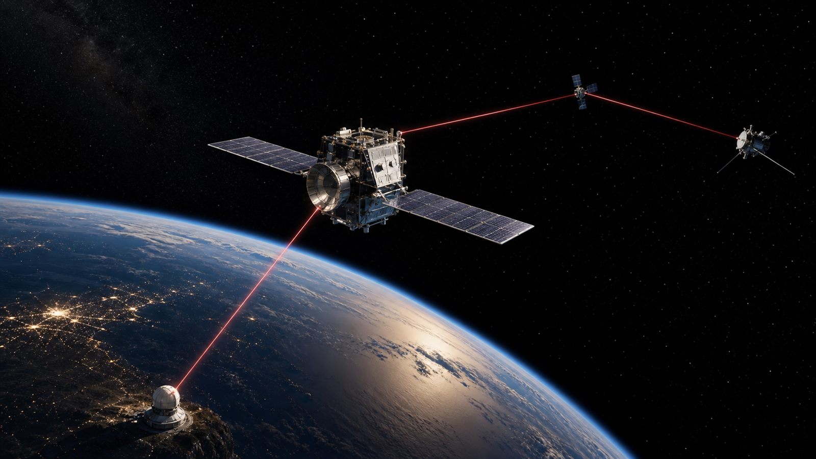
    Laser communications have spent years proving that light can move data across space. The next challenge is turning impressive demonstrations into infrastructure that operators can schedule, monitor, and trust. That means more than putting a laser terminal on a spacecraft. It requires compatible terminals, precise pointing, optical ground stations, weather-aware routing, network control, and a radio link that can carry essential traffic when clouds block the optical path.

    NASA’s Deep Space Optical Communications experiment showed how far the technology can reach. The payload on the Psyche spacecraft completed its final pass in September 2025 after 65 passes and a maximum distance of about 218 million miles. European programs are now working toward optical networks that connect satellites in different orbits with ground infrastructure. The story is shifting from a single record-setting link to a system of links.

    Why Use Light Instead of Radio?

    Optical communications use much higher carrier frequencies than conventional radio systems. A narrow laser beam can support high data rates with compact terminals and can reduce interference outside the intended path. For science missions, more downlink capacity can mean more images and measurements returned from the same spacecraft.

    A narrow beam is also demanding. The transmitter must point accurately at a receiver that may be moving rapidly and may appear as a tiny target across an enormous distance. Spacecraft vibration, thermal distortion, orbital uncertainty, and atmospheric turbulence can all affect acquisition and tracking.

    Radio remains indispensable. It is well understood, can cover wide areas, and can pass through clouds. Future systems are likely to combine optical links for high-capacity transfers with radio for command, telemetry, acquisition support, and resilience.

    Deep-Space Optical Communications Proved the Physics

    NASA and the Jet Propulsion Laboratory built DSOC as a technology demonstration attached to Psyche, not as the mission’s primary communications system. It used a flight laser transceiver, a ground uplink transmitter, and a ground downlink receiver. The experiment achieved optical communications beyond the Earth-Moon system and continued at increasing distances as Psyche traveled through the solar system.

    The significance is not one headline bitrate taken out of context. DSOC exercised acquisition, pointing, atmospheric compensation, photon-sensitive reception, and operations over many passes. It also showed why deep-space optical links need powerful ground facilities and careful scheduling. A demonstration can use specialized assets that a routine mission network must make more available and economical.

    Deep-space links have a different scale from the lunar communications networks being planned around the Moon, but both need interoperability and service concepts that let missions use shared infrastructure.

    Networks Need Relays, Not Only Direct Downlinks

    A spacecraft does not always have a clear view of a ground station. An optical relay can receive traffic from one satellite and send it onward through an inter-satellite link or down to another ground location. A network can route around orbital geometry, ground-station demand, or local weather.

    The European Space Agency’s High-throughput Optical Network, or HydRON, is designed around this broader idea. ESA describes a multi-orbit optical transport network with space and ground segments. Its architecture includes inter-satellite links, optical ground stations, and network management, with interoperability as a central goal.

    That is a harder engineering problem than maximizing the performance of one terminal pair. Terminals from different missions and suppliers must agree on interfaces and procedures. Schedulers need accurate orbit, availability, and weather information. Operators need service-level measures such as successful acquisition, delivered data, latency, and outage recovery.

    Clouds Make Ground Diversity Essential

    Cloud cover can completely interrupt an optical downlink, while aerosols, turbulence, and low elevation angles can degrade it. A ground network therefore needs geographically separated sites with different weather patterns. Forecasts and real-time sensors can help choose the best station for an upcoming pass.

    Diversity is not free. Every site needs a telescope, tracking equipment, communications backhaul, maintenance, security, and integration with the network. Data may also need temporary storage on the spacecraft or relay until a route opens. Designing for average clear weather is not enough when a mission has time-sensitive data.

    Space weather is a different hazard from ordinary clouds, but it makes the same operational point: infrastructure needs observation and procedures, not just capable hardware. Our guide to space weather forecasting explains that system view.

    Pointing Is a Control Problem at Several Scales

    A spacecraft first uses its attitude system and orbital knowledge to aim the terminal toward the expected receiver location. The optical terminal then acquires a beacon or target and applies fine steering to keep the narrow beam aligned. Ground systems may compensate for atmospheric distortion and the small angular difference caused by light travel time and relative motion.

    The process must recover when acquisition fails. Operators need to know whether the cause was pointing, weather, timing, hardware, or a network configuration error. Routine service requires repeatable diagnostics and automatic fallback, not a one-off team of experiment specialists.

    Interoperability Will Decide Whether a Market Forms

    Shared optical infrastructure is most valuable when a mission can buy service from more than one compatible ground or relay provider. That requires standards for physical links, coding, acquisition, timing, interfaces, and operational data. It also requires testing that proves two independently built terminals can work together.

    Without interoperability, each mission may remain tied to a custom terminal and a small set of ground assets. That can reproduce the cost and scheduling constraints the network is supposed to solve. ESA’s HydRON work emphasizes an end-to-end test environment and cooperation between institutions and industry for this reason.

    Small satellites illustrate the potential benefit. Constellations can generate more imagery and sensor data than limited radio windows can return. Our article on small-satellite Earth observation describes why data delivery is part of the product, not an afterthought.

    Security Is Different, Not Automatic

    A narrow beam is harder to intercept accidentally than a wide radio broadcast, but it does not make the network secure by itself. Ground stations, scheduling systems, control software, credentials, supply chains, and terrestrial backhaul remain attack surfaces. Data still needs appropriate authentication and encryption.

    Denial of service is also possible through cyberattack, optical interference, or disruption of a critical ground site. A resilient design separates command authority, monitors terminal behavior, protects software updates, and provides alternate routes and radio fallback.

    Economics Will Be Measured in Delivered Data

    An optical terminal can promise a high peak rate, but a mission operator cares about how much validated data reaches its destination over time. Weather losses, acquisition failures, limited ground availability, relay fees, onboard storage, and integration work all affect that number.

    Commercial adoption will depend on predictable service and standardized procurement. Operators will compare terminal mass and power, coverage, pass availability, latency, security, and total delivered cost. A network that offers graceful radio fallback may be more valuable than a faster optical-only link with uncertain availability.

    What to Watch Next

    Watch for multi-vendor interoperability tests, operational relay demonstrations, expansion of optical ground-station networks, and contracts defined as communications services rather than isolated hardware experiments. Also watch how networks combine near-Earth, lunar, and deep-space use cases without pretending they have identical requirements.

    Laser communications no longer need to prove that a beam can cross space. The harder proof is operational: acquire the right terminal on schedule, move useful data through changing routes and weather, recover from failure, and do it often enough that missions can treat optical capacity as infrastructure.

    Sources and Further Reading

  • Space Weather Forecasting Is Becoming Critical Infrastructure

    Space Weather Forecasting Is Becoming Critical Infrastructure

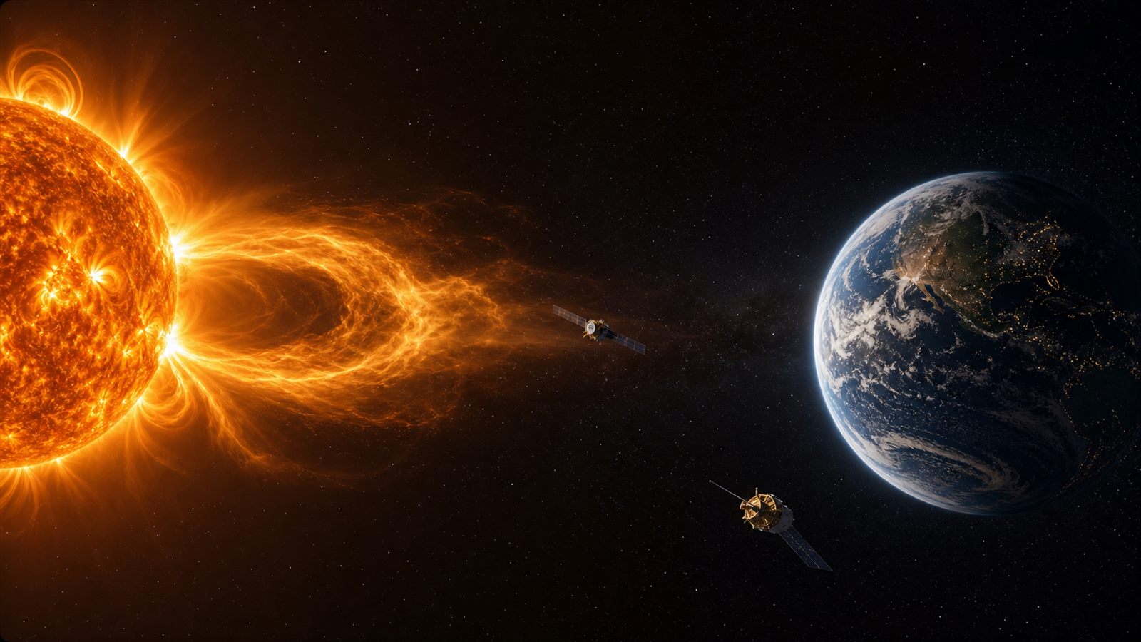
    Space weather sounds remote until a solar outburst interferes with a satellite, radio link, navigation signal, or power network. The phrase covers changing conditions between the Sun and Earth, including bursts of radiation, clouds of magnetized plasma, and streams of energetic particles. Modern infrastructure depends heavily on systems that can be affected by those events, so forecasting the space environment is becoming an operational service rather than a specialist scientific exercise.

    The goal is not to predict every effect with the certainty of a timetable. It is to combine observations, models, alerts, and operator procedures so that people responsible for spacecraft and critical infrastructure have useful time to respond. That requires measurements from the ground, near Earth, and deep space, plus a clear understanding of what remains uncertain.

    Several Different Hazards Share One Name

    A solar flare is a burst of electromagnetic radiation. Its X-rays and extreme ultraviolet light travel at the speed of light, so effects on Earth’s sunlit ionosphere can begin only minutes after an eruption is observed. High-frequency radio communication and some navigation services may be degraded before an operator has much time to act.

    A coronal mass ejection, or CME, is a large release of plasma and magnetic field from the solar corona. It usually takes much longer to reach Earth, creating a larger warning window. If its magnetic field couples strongly with Earth’s field, it can drive a geomagnetic storm. Solar energetic particles are another hazard, particularly for astronauts, spacecraft electronics, and high-altitude or polar operations.

    These are related phenomena, but they do not arrive on the same schedule or produce identical effects. A useful forecast therefore identifies the hazard, expected timing, confidence, and likely affected systems instead of reducing everything to a single dramatic label.

    Forecasting Begins With a Network of Observations

    Solar telescopes watch active regions and detect eruptions. Coronagraphs block the bright solar disk so analysts can estimate the speed, width, and direction of an outward-moving CME. Ground instruments monitor the ionosphere and Earth’s magnetic field. Spacecraft sample particles and magnetic fields that cannot be measured through the atmosphere.

    NASA’s Deep Space Climate Observatory, DSCOVR, orbits around the Sun-Earth L1 region roughly a million miles upstream from Earth. Its real-time solar-wind measurements provide a final warning that disturbed plasma is approaching. That warning is valuable, but it is relatively short. The spacecraft does not tell forecasters everything about a CME days in advance.

    The observing network is an infrastructure system of its own. Instruments need continuity, calibration, reliable communications, and backup coverage. A failed sensor during a major event can reduce forecast confidence exactly when users need it most.

    The Magnetic Field Is a Hard Forecasting Problem

    Forecasters can often estimate whether a CME is directed toward Earth and when it may arrive. The strength of the resulting geomagnetic storm depends heavily on the magnetic field embedded in the cloud, especially its orientation relative to Earth’s field. NOAA explains that this key property generally cannot be measured directly until the CME passes a monitoring spacecraft near Earth.

    That creates a practical limit. An operator may receive days of notice that an event is possible, followed by a much more confident assessment only shortly before impact. Forecast products need to communicate that change in certainty. A wide time window is not a failure if the underlying physics and available observations do not support a more precise claim.

    An L5 View Could Add Earlier Context

    ESA is developing the Vigil mission for the fifth Sun-Earth Lagrange region, or L5, which provides a side view of the Sun-Earth line. From there, Vigil is intended to observe active areas before solar rotation brings them into full view from Earth and to improve measurements of CMEs moving toward our planet.

    ESA currently plans a 2031 launch and describes Vigil as an operational mission feeding its Space Weather Service Network. The agency says the geometry could provide up to four or five days of notice for certain effects. That does not mean every storm will become predictable five days ahead; it means forecasters gain another angle and earlier evidence for some events.

    Combining L5 observations with measurements from L1, Earth orbit, and the ground is more useful than treating any one spacecraft as a complete answer. Models improve when they can compare the same event from several positions.

    Satellites Face More Than Direct Radiation

    Energetic particles can upset electronics, damage components over time, and increase radiation exposure. Geomagnetic activity can heat and expand the upper atmosphere, increasing drag on spacecraft in low Earth orbit. Operators may see orbit predictions become less accurate just when crowded orbital regions require careful conjunction screening.

    This connects space weather with orbital safety and debris management. A change in atmospheric density affects how quickly objects slow down, while uncertainty in drag affects predicted close approaches. Small spacecraft also have limited power, shielding, and operational staff, making the issue relevant to the growing small-satellite Earth observation sector.

    Satellite operators can place systems in safer modes, postpone sensitive operations, adjust attitude, manage battery charging, or change mission schedules. The correct response depends on spacecraft design and the specific warning; shutting down every satellite whenever solar activity rises would create its own risks.

    Navigation, Radio, and Aviation Depend on the Ionosphere

    Satellite-navigation receivers calculate position from precisely timed radio signals. Those signals pass through the ionosphere, whose electron density changes during solar and geomagnetic activity. The result can be reduced accuracy, loss of signal lock, or greater difficulty for applications that depend on high precision.

    High-frequency radio used on some polar aviation routes can also be disrupted. Operators may change routes, altitudes, or communication plans when conditions warrant it. The expanding satellite-to-phone ecosystem adds more users who will indirectly depend on space-weather-aware network planning.

    Power Grids Need Actionable Alerts

    A geomagnetic storm can induce electric fields in the ground and long conductors. The resulting currents may enter transmission networks through transformer connections. Risk varies with latitude, geology, network topology, equipment, and operating conditions, so a global storm rating is only the beginning of a grid operator’s assessment.

    Utilities can use regional measurements and network models to decide whether to adjust flows, increase reserves, postpone maintenance, or monitor vulnerable equipment more closely. The value of a warning comes from linking it to a tested operating procedure. An alert that is scientifically accurate but too vague for a control room has limited practical value.

    Forecasts Reduce Risk but Do Not Remove It

    Space weather models face incomplete observations and a complex chain from the Sun to a particular device on Earth. Local impacts can differ even during the same event. Forecast performance should therefore be measured by lead time, reliability, false alarms, missed events, and usefulness to each sector.

    Engineering remains essential. Radiation-tolerant electronics, redundant communications, robust timing, sensible satellite modes, transformer monitoring, and recovery plans limit damage when forecasts are late or an event behaves unexpectedly. Forecasting and resilient design are complementary layers.

    What to Watch Next

    Watch the development of ESA Vigil, continuity of L1 solar-wind monitoring, improved CME magnetic-field models, and services tailored to satellite, aviation, navigation, and electricity users. Better forecasting will look less like a spectacular image of the Sun and more like a dependable chain from observation to decision.

    For ordinary technology users, the most useful lesson is modest: a navigation or communications disturbance during a solar event does not mean every system is failing, and an aurora alert is not automatically a severe infrastructure warning. Different hazards require different interpretations, which is exactly why professional space weather services matter.

    Sources and Further Reading

  • Satellite-to-Phone Networks Are Turning Spacecraft Into Cell Towers

    Satellite-to-Phone Networks Are Turning Spacecraft Into Cell Towers

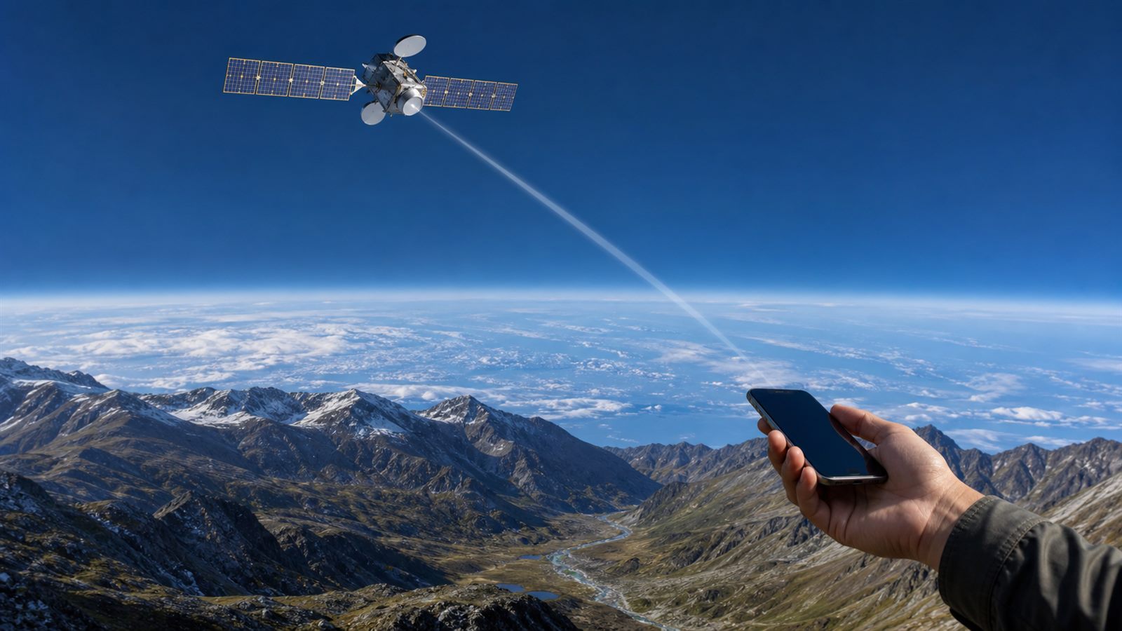
    A mobile phone normally talks to a nearby tower. Satellite-to-phone service changes that path: when terrestrial coverage disappears, the handset can connect through a spacecraft and a ground gateway to reach the mobile network. The experience may eventually feel like ordinary roaming, even though the radio link travels hundreds or thousands of kilometers farther.

    This idea is becoming less proprietary and more standardized. The 3rd Generation Partnership Project, or 3GPP, added normative non-terrestrial network requirements in Release 17 and continued enhancements in later releases. In the United States, the Federal Communications Commission created a framework called Supplemental Coverage from Space, or SCS, that lets satellite and terrestrial mobile operators cooperate in licensed mobile spectrum.

    The result is not a replacement for cell towers. It is a new coverage layer for places where a tower is unavailable, damaged, or uneconomic.

    Two Paths Toward a Satellite Link

    Non-terrestrial network, or NTN, is the broad 3GPP term for radio access that uses satellites or airborne platforms. A compatible handset or Internet of Things device communicates over a service link to the platform. The platform may relay the signal directly to a ground gateway or through other satellites before it reaches the core network.

    The FCC’s SCS framework addresses a particular regulatory model. A satellite operator partners with a terrestrial wireless licensee and uses authorized mobile spectrum on a secondary basis to fill gaps in that carrier’s coverage. The mobile provider remains part of the customer relationship, while the satellite supplies a path where the ground network cannot.

    These approaches can overlap technically, but they are not identical. One starts from global mobile standards; the other establishes how specific spectrum and licenses may be used in the United States. Consumers will mostly notice the outcome: whether their carrier, phone, region, and service plan support a connection.

    Why Ordinary Phones Are a Difficult Radio Target

    A conventional satellite terminal has a visible antenna, a larger battery, and enough power to aim a strong signal toward space. A smartphone has a small antenna built around a screen, cameras, and other radios. It may be held at an awkward angle, placed in a pocket, or surrounded by buildings and trees.

    The satellite must detect that weak uplink while moving rapidly relative to the user. The system has to compensate for delay and Doppler shift, coordinate beams over wide areas, hand a connection between spacecraft, and avoid harmful interference with terrestrial networks using related frequencies.

    Low Earth orbit reduces distance compared with traditional geostationary satellites, but the link still has far less capacity than a dense urban cell network. This is why early direct-to-phone experiences tend to prioritize emergency messages, short texts, basic data, or limited voice rather than promising continuous high-definition video everywhere.

    Standards Make Roaming More Realistic

    Release 17 was the first 3GPP release with normative NTN requirements. Its work covers radio access, architecture, network selection, roaming, service continuity, and support for both 5G New Radio and lower-rate satellite IoT connections. Release 18 added enhancements, while Release 19 continues work on further NTN capabilities.

    A common standard does not make every network interchangeable overnight. Operators still choose spectrum, satellite architecture, authentication, billing, emergency handling, and supported devices. Chipsets and phones must implement the relevant features, and networks must pass conformance and interoperability testing.

    Still, standardization matters. It gives handset, modem, satellite, and carrier suppliers a shared technical foundation rather than requiring a completely separate device for every service. It also supports the broader infrastructure story in the new space economy, where value increasingly comes from networks and data services rather than launch alone.

    Regulation Has to Protect Both Networks

    The FCC’s 2024 SCS order established a licensing route for collaborations between satellite operators and terrestrial carriers. SCS operations are secondary, so they must protect primary terrestrial services from harmful interference. The framework also addresses spectrum leases, geographic coverage, and interim routing for emergency communications.

    In April 2026, the FCC granted a limited waiver that allows certain devices already authorized before June 29, 2024, to connect to SCS services without first receiving a separate Part 25 authorization. The order is a practical example of regulation adapting to existing phones while retaining device records and interference accountability.

    Other regions use their own spectrum and communications rules. International coordination matters because a satellite beam does not stop at a national border. Operators must control where particular frequencies are active and comply with the authorization in each market.

    Coverage Does Not Mean Unlimited Capacity

    A satellite can illuminate a huge area, but every user in that beam shares finite spectrum and spacecraft power. A ground tower covers less territory and can reuse frequencies across many small cells. That makes terrestrial infrastructure better for concentrated demand.

    Direct-to-phone satellite service is therefore strongest as a complement: remote roads, farms, hiking areas, maritime edges, disaster zones, and regions where a damaged backhaul link has taken towers offline. It may also support low-rate sensors and logistics equipment outside normal coverage.

    Weather, terrain, foliage, buildings, phone orientation, satellite visibility, and local network policy can all affect availability. Users should not assume that a coverage map guarantees an indoor connection or that emergency access works identically in every country. A clear view of the sky remains valuable.

    What It Means for Space Infrastructure

    Connecting consumer phones demands more than adding a radio payload. Constellations need gateways, spectrum coordination, network software, accurate timing, cybersecurity, collision avoidance, and a plan for replacing spacecraft. The orbital-safety issues in our space debris overview become more important as communications constellations grow.

    Operators also need service monitoring that distinguishes a phone problem, a gateway outage, a satellite handover, and congestion. Mobile subscribers expect a network, not a science experiment. Reliability will be measured by successful messages and calls under difficult conditions, not by the number of satellites announced.

    What Buyers Should Check

    Before relying on a service, check the supported country, carrier, phone model, software version, message or voice capability, emergency terms, and whether an additional subscription is required. Confirm what happens when the phone enters satellite mode and whether the user must point or hold it in a particular way.

    For remote travel, satellite access should be one layer in a safety plan rather than the only one. Battery management, offline maps, weather awareness, and a dedicated emergency device may still be appropriate for high-risk journeys.

    What to Watch Next

    The useful milestones are broader standards-based handset support, reliable handover between terrestrial and satellite links, better emergency location routing, and transparent capacity limits. Watch whether services progress from short messages to dependable voice and data without sacrificing battery life.

    Space-based navigation and communications are also expanding beyond Earth, as explained in our article on lunar networks. On Earth, the near-term goal is simpler but consequential: make a phone more likely to work when the last cell tower disappears.

    Sources and Further Reading

  • Why the Moon Needs Its Own Communications and Navigation Network

    Why the Moon Needs Its Own Communications and Navigation Network

    Every spacecraft needs a way to communicate and determine where it is. Near Earth, missions can rely on familiar ground networks and established navigation infrastructure. The Moon is different. Surface terrain blocks radio signals, the far side cannot see Earth directly, and operations near the south pole can move in and out of line of sight. A growing number of landers, rovers, orbiters, and crewed missions will place more demand on the limited direct links back to Earth.

    NASA, the European Space Agency, the Japan Aerospace Exploration Agency, and commercial partners are therefore treating lunar communications and navigation as shared infrastructure. The goal is not to put ordinary cell towers on the Moon. It is to create interoperable relay and positioning services that missions can use without building an entire network from scratch.

    Why Direct-to-Earth Links Are Not Enough

    A mission that communicates directly with Earth needs an antenna, power, radio hardware, pointing capability, and access to a ground station. The link may disappear when an orbiter passes behind the Moon or when terrain blocks a surface vehicle. The lunar far side is permanently hidden from direct Earth view, while deep craters and low horizons create additional coverage problems near the poles.

    Navigation is also challenging. GPS satellites serve users near Earth, not vehicles on the lunar surface. A lander can use inertial sensors, terrain imaging, radio ranging, and calculations performed with Earth support, but future operations will benefit from a shared position, navigation, and timing service.

    These constraints help explain why infrastructure is becoming as important as launch vehicles in the new space economy. A common network could reduce the communications equipment each mission must carry, improve coverage, and allow surface assets to operate more independently.

    LunaNet Is a Framework, Not One Satellite

    NASA’s LunaNet describes an architecture in which government and commercial service providers can offer compatible communications, navigation, and information services around the Moon. The interoperability specification defines common interfaces so a user mission can work with more than one provider rather than depending on a closed system.

    The framework covers direct links with Earth and lunar relay links. It also includes position, navigation, and timing information, plus network services such as the distribution of space-weather data. NASA, ESA, and JAXA collaborate on the specification, reflecting the reality that lunar missions will involve multiple agencies and companies.

    One key technology is delay- and disruption-tolerant networking. An ordinary internet connection often assumes that an end-to-end path is available. Space links may be interrupted by orbital motion, terrain, scheduling, or pointing constraints. A disruption-tolerant node can store data and forward it when the next part of the route becomes available. That approach is closer to a planned relay system than a continuous terrestrial broadband connection.

    NASA’s Relay and Navigation Services

    NASA’s Lunar Communications Relay and Navigation Systems program is intended to establish relay satellites in lunar orbit. A relay can maintain a connection with surface missions or spacecraft when Earth is not directly visible. Multiple relays can improve availability, resilience, and coverage of high-interest regions.

    The program is also designed around commercial services. Instead of NASA owning every element, providers may sell communications and navigation capacity to multiple missions. That model resembles the shift from custom government launch vehicles to purchased launch services, although lunar networking has its own technical and business risks.

    A shared service does not eliminate mission radios. Landers and rovers still need compatible terminals, antennas, power budgets, and procedures. It changes the network boundary: the mission connects to nearby infrastructure, and the provider handles more of the long-distance relay.

    ESA’s Moonlight Constellation

    ESA’s Moonlight program offers a complementary European plan for lunar communications and navigation. ESA describes a five-satellite solution: one high-data-rate communications satellite and four navigation satellites in highly elliptical lunar orbits. The design prioritizes coverage of the lunar south pole, where many future missions are planned.

    The Lunar Pathfinder relay is intended as an early step, followed by gradual deployment of the broader service. Moonlight is being developed to align with LunaNet standards, which is important because a mission should not require entirely different equipment for every provider.

    Navigation satellites alone do not solve every positioning problem. Accuracy depends on orbit knowledge, clocks, signal geometry, user hardware, and local conditions. ESA is also developing the NovaMoon concept, a surface geodetic and timing station intended to improve lunar navigation accuracy and provide a stable reference point.

    What Shared Lunar Infrastructure Enables

    Better connectivity could support high-resolution science data, teleoperation, coordinated rover teams, software updates, landing support, emergency communications, and routine logistics. A far-side radio telescope, for example, needs a relay to send observations to Earth without compromising the radio-quiet environment during measurements.

    Navigation services could help vehicles plan routes, coordinate with other assets, and operate through longer periods without waiting for Earth-based position solutions. That matters for surface mobility and for the small satellites described in our Earth-observation explainer, because the same trend toward shared data infrastructure is now extending beyond Earth orbit.

    The Hard Problems Are Technical and Economic

    Lunar relay satellites must operate reliably in a radiation environment with limited opportunities for repair. Highly elliptical orbits can provide useful coverage but create changing link distances and geometry. The network needs spectrum coordination, cybersecurity, precise timing, compatible terminals, redundancy, and a workable plan for replacing failed spacecraft.

    The business case is equally important. Infrastructure must be deployed before there are many paying users, while early missions need confidence that the service will exist. Governments may act as anchor customers, but long-term sustainability depends on launch costs, demand, pricing, and whether several providers can interoperate.

    Orbital responsibility also matters. More spacecraft around the Moon introduce tracking and coordination requirements related to our broader discussion of orbital safety. Lunar space is vast, but useful orbits and radio frequencies still require careful management.

    What to Watch Next

    Watch for operational relay demonstrations, adoption of LunaNet-compatible terminals, published service agreements, cross-provider tests, and navigation performance measured on actual missions. The strongest milestone will be a user spacecraft moving between compatible services without a custom redesign.

    The Moon’s network layer will arrive gradually. If agencies and companies can make communications and navigation dependable, interoperable, and affordable, future missions will be able to focus more of their mass, power, and engineering effort on exploration rather than rebuilding the same connection to Earth.

    Sources and Further Reading

  • Space Debris and the Future of Orbital Safety

    Space Debris and the Future of Orbital Safety

    Updated July 14, 2026.

    The new space economy depends on orbit remaining usable. Communications, navigation, weather forecasts, Earth observation, science, and emerging direct-to-phone services all rely on spacecraft moving through a shared environment. Every abandoned satellite, rocket stage, and collision fragment adds another object that an operator may need to avoid.

    Space debris is difficult because speed turns small objects into serious hazards. It is also a long-term systems problem: preventing new debris, tracking what already exists, sharing accurate orbit data, moving active spacecraft, disposing of them at end of life, and eventually removing selected high-risk objects all have to work together.

    The Visible Catalog Is Only Part of the Environment

    Ground-based radars and telescopes track larger objects and estimate their orbits. Smaller fragments are too numerous or faint to maintain in a normal catalog, so agencies use impact data and statistical models to estimate the population.

    ESA鈥檚 2026 Space Environment Report estimates about 54,000 objects larger than 10 centimeters crossing low Earth orbit, including roughly 9,300 active payloads. It estimates another 1.2 million objects between 1 and 10 centimeters and about 130 million between 1 millimeter and 1 centimeter. These figures are modeled populations, not a claim that every fragment has a known identity and real-time track.

    That distinction matters for safety. Operators can plan a maneuver around a cataloged object if the predicted encounter becomes dangerous. They cannot receive an individual warning for every small fragment. Spacecraft therefore also need shielding, redundancy, and designs that limit the consequence of an impact.

    More Spacecraft Create More Conjunctions

    A conjunction is a predicted close approach between two orbiting objects. Screening systems propagate orbit estimates forward, account for uncertainty, and identify events that deserve closer monitoring. Operators then compare collision probability, miss distance, uncertainty, mission constraints, and the risk created by a maneuver.

    ESA reports that more than 300 launches placed over 4,000 new payloads into the space environment during 2025, as several large low Earth orbit constellations began systematic deployment. Most close approaches do not become collisions, but a larger active population increases the number of events that tracking networks and operations teams must process.

    Coordination becomes harder when both spacecraft can maneuver. One operator needs to know whether the other plans to move, and late changes can invalidate an earlier prediction. Shared ephemerides, reachable operations contacts, common message formats, and clear decision rules are part of orbital infrastructure.

    Uncertainty Makes Avoidance a Judgment

    An orbit estimate is not a perfect line. It comes with an uncertainty region that changes as observations arrive and the prediction extends farther into the future. Atmospheric drag, spacecraft maneuvers, solar activity, and measurement limits all affect the forecast.

    Maneuvering too often consumes fuel, interrupts a mission, and can create new conjunctions. Waiting too long reduces options. Operators set thresholds and use their knowledge of the spacecraft to decide. A small satellite with electric propulsion, a crewed station, and a dead rocket body cannot all respond in the same way.

    Preventing Fragmentation Has the Highest Leverage

    One explosion or collision can create many long-lived fragments. Debris mitigation therefore begins with preventing accidental breakups. At end of mission, spacecraft and rocket stages should passivate stored energy by depleting or safely isolating remaining propellant, batteries, and pressurized systems where practical.

    Designers also try to limit objects released during normal operations. Fasteners, lens covers, deployment hardware, and other mission-related items should remain attached unless release is essential and the orbital lifetime is short. Launch and mission plans can avoid especially congested regions or reduce the time spent crossing them.

    NASA鈥檚 Orbital Debris Program Office describes mitigation as controlling released debris, preventing accidental explosions, reducing collision risk through flight design and operations, and planning post-mission disposal. These practices are much cheaper when designed into a mission than when added after launch.

    End-of-Life Disposal Is Becoming Faster

    For low Earth orbit, disposal often means lowering the orbit so atmospheric drag brings the spacecraft back. A controlled reentry can target a remote area when surviving debris presents sufficient ground risk. Smaller systems may be placed in an orbit that decays naturally within the permitted period.

    The long-standing international mitigation target allowed up to 25 years of post-mission presence in the protected low Earth orbit region. Policies are tightening. ESA鈥檚 2023 debris standard reduced the maximum to five years for ESA projects and adds a cumulative collision-probability condition. The U.S. Federal Communications Commission also adopted a five-year post-mission disposal rule for covered non-geostationary satellite systems under its authority.

    Shorter disposal time reduces the period when an inactive spacecraft can collide without being able to move. It does not guarantee success. A satellite may fail before performing its final maneuver, so reliable disposal needs enough propulsion, power, software, and operational margin to work after years in space.

    Reentry Has Its Own Safety Trade-Off

    Moving debris out of orbit can transfer some risk toward Earth. Much of a spacecraft burns up during reentry, but dense components may survive. ESA reports that about 1,200 intact objects reentered during 2025, with increasing launch activity and solar-driven atmospheric drag contributing to the trend.

    The individual risk to a person remains extremely low, but aggregate risk grows as reentries increase. Design for demise uses materials, shapes, and component placement that improve breakup and melting. Controlled reentry may be required for larger objects whose surviving fragments exceed accepted casualty-risk thresholds.

    Why Active Debris Removal Is Discussed

    Even perfect compliance by future missions would not remove the large abandoned objects already in crowded orbits. Collisions among those objects could generate new fragments without any additional launches. ESA鈥檚 long-term models therefore conclude that mitigation alone is not enough to reverse debris growth in some scenarios.

    Active removal concepts include robotic capture, nets, harpoons, docking plates, and vehicles that attach a deorbit device. The highest-value target may not be the easiest object to capture. Large rocket bodies in dense orbital bands can contribute more long-term collision risk than numerous tiny fragments, but they may tumble, lack docking fixtures, or contain uncertain stored energy.

    Removal also raises legal and operational questions. A space object remains under the jurisdiction of its launching state, so a third party cannot simply collect it. Missions need permission, identification, liability arrangements, transparent intent, and rendezvous procedures that other operators can distinguish from hostile behavior.

    Traffic Management Is More Than a Public Catalog

    Orbital safety needs authoritative data, but also standards for exchanging operator information that is not visible to public sensors. Planned maneuvers, spacecraft size, maneuver capability, and a current contact can greatly improve a conjunction decision.

    The communications and navigation systems planned for the Moon, described in our guide to lunar network infrastructure, will eventually face related coordination questions. The orbital regimes differ, but sustainable operations still depend on registration, data exchange, and responsible disposal.

    What Responsible Operators Can Show

    A credible mission publishes or provides regulators with its expected orbit, maneuver capability, collision-screening process, end-of-life plan, passivation design, and ground-risk analysis. It also identifies what happens if the spacecraft loses propulsion or communications before disposal.

    Constellation operators should report disposal success rates, not only plans. They can disclose how many failed satellites remain in operational bands, how conjunctions are coordinated, and whether replacement launches account for the debris risk of the full system. Insurance and licensing can reinforce these practices when evidence is consistent across jurisdictions.

    Our overview of the new space economy emphasizes reusable vehicles and data services. Orbital stewardship belongs in the same infrastructure layer because a business model that depends on continued access to orbit also depends on keeping that orbit manageable.

    Limits of Today鈥檚 Approach

    Standards and national rules are not globally identical, and many international sustainability guidelines are voluntary. Tracking coverage and data access vary. A five-year disposal rule cannot remove debris that already lacks propulsion, and a successful deorbit does not compensate for an avoidable fragmentation event.

    Active removal is still expensive and mission-specific. It should complement stronger prevention, not become an excuse to launch systems with weak end-of-life reliability. No single technology can solve a shared environment shaped by thousands of missions and decades of history.

    What to Watch Next

    Watch disposal success under newer five-year policies, active-debris-removal demonstrations, better sharing of maneuver data, and designs that make future spacecraft easier to capture or service. The strongest progress will be measured in fewer uncontrolled failures, fewer long-lived fragments, and reliable clearance of protected orbital regions.

    Small satellites are continuing to expand Earth observation and communications. A crowded orbit can remain productive, but only if every mission treats safety and disposal as part of the spacecraft rather than paperwork added after the engineering is finished.

    Sources and Further Reading

  • Small Satellites Are Changing Earth Observation

    Small Satellites Are Changing Earth Observation

    Small satellites have changed the economics of Earth observation. Instead of relying only on a few large spacecraft, operators can deploy constellations that revisit the same areas frequently and collect different types of data.

    Why It Matters

    Frequent observation creates value because many real-world systems change quickly. Crops, ports, forests, construction sites, storms, and supply chains all benefit from timely information.

    Where It Shows Up

    Earth observation data can support precision agriculture, insurance, environmental monitoring, disaster response, urban planning, energy infrastructure, maritime tracking, and climate research. The satellite image is only the beginning; analytics turn imagery into decisions.

    What to Watch

    • Higher revisit rates and better resolution
    • Radar satellites that see through clouds and at night
    • AI analysis of satellite data streams
    • Responsible orbital operations and debris management

    Small satellites make Earth more measurable. The next challenge is turning constant measurement into reliable insight that organizations can actually use.

    Category: Space Technology. This article is part of Frontier Technology Portal’s plain-English guide to the technologies shaping the next decade.

  • The New Space Economy Is Built on Reuse, Data, and Infrastructure

    The New Space Economy Is Built on Reuse, Data, and Infrastructure

    Space technology is no longer only about national prestige or one-off exploration missions. A growing space economy is forming around reusable launch, satellite networks, Earth observation, communications, navigation, manufacturing, and data services.

    The most important change is cost. When launch becomes more frequent and reusable, more organizations can place hardware in orbit. That makes space less like a special event and more like an infrastructure layer.

    Satellites as a Data Platform

    Modern satellites can observe crops, cities, oceans, forests, weather patterns, shipping routes, and infrastructure. This data can support agriculture, disaster response, insurance, logistics, climate monitoring, and defense. The value is often not the satellite itself but the insight created from the data stream.

    Communications satellites are also changing connectivity. Low Earth orbit networks can reduce latency and expand coverage in remote areas, though they also raise questions about spectrum, orbital debris, astronomy, and regulation.

    Reusable Launch Changes the Model

    Reusable rockets make it possible to think in terms of cadence, maintenance, and logistics rather than single-use missions. That does not make space easy, but it changes the economics. More launch capacity supports more experiments, more satellites, and more commercial services.

    What to Watch

    • Debris management and responsible orbital behavior.
    • Satellite-to-phone and direct connectivity services.
    • In-space manufacturing and servicing.
    • Space-based Earth observation for climate and supply chains.
    • Lunar infrastructure and commercial exploration partnerships.

    The next phase of space technology will be defined less by single milestones and more by systems that operate continuously. Space is becoming a platform, and platforms create ecosystems.