
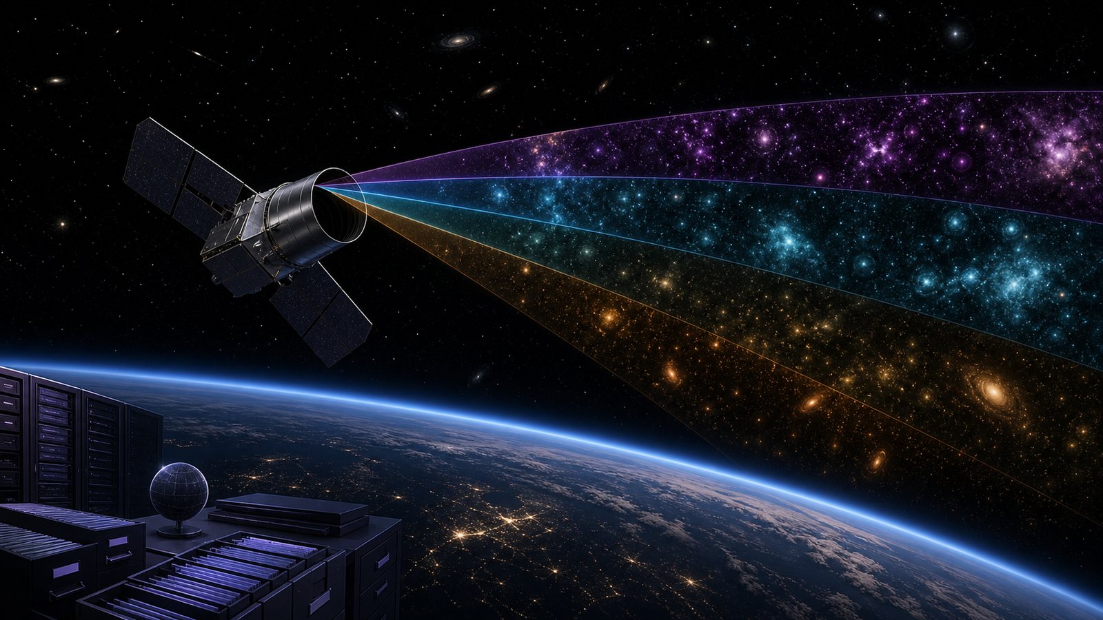
Some space missions are spectacular because they land, dock, or unfold a giant structure. SPHEREx is quieter. Its job is to scan the entire sky in infrared light and turn that enormous survey into a public scientific data set. For ordinary technology fans, that makes it a useful example of space technology as data infrastructure.
The mission is not chasing one planet or one galaxy. It is designed to map the sky repeatedly across many colors of infrared light. That can help scientists study the early universe, galaxy evolution, and the icy ingredients associated with planet-forming regions. The spacecraft matters, but the pipeline that turns observations into usable maps matters just as much.
SPHEREx Is an All-Sky Infrared Survey
NASA describes SPHEREx as a space telescope built to survey the entire sky in near-infrared light. Infrared observations can reveal objects and materials that are hard to study in visible light, including cool stars, dust-obscured regions, and molecular signatures in space.
The mission uses spectroscopy, which separates light into many wavelengths. Instead of producing only a picture, it can measure how bright each point in the sky is at different infrared colors. That spectral information helps identify materials and distances in ways a single image cannot.
This connects naturally with earlier coverage of Earth-observation data systems. Modern spacecraft are increasingly valuable because they produce repeatable, calibrated data at scale. SPHEREx applies that logic to the wider universe.
The Technology Challenge Is Repeatable Measurement
All-sky mapping requires consistency. A survey telescope must keep its detectors cold, control stray light, know where it is pointing, and repeat observations in a way that lets scientists compare one part of the sky with another. Small calibration errors can become large scientific problems when data is stitched into a global map.
SPHEREx is designed around a survey strategy rather than one-off targeting. Its value comes from coverage, repeated scans, and a shared data product. That is different from a telescope used mainly for focused observations of selected targets.
The approach also creates a software and archiving challenge. Raw detector readings must become calibrated images, spectra, catalogs, uncertainty estimates, and tools that researchers can trust. In that sense, the mission lives at the intersection of optics, thermal engineering, spacecraft operations, and data engineering.
That makes mission design less romantic but more powerful. The telescope must not only see faint infrared signals; it must see them in a way that can be compared across time, sky position, and wavelength. A beautiful single frame is less valuable than a stable measurement system that other researchers can reproduce.
Why Infrared Maps Matter
Infrared light can carry information from dusty or distant regions that visible light does not reveal as clearly. By measuring many infrared wavelengths across the whole sky, SPHEREx can help scientists study how galaxies are distributed, how cosmic structures evolved, and where water and organic molecules appear in regions where stars and planets form.
The mission is often discussed alongside big cosmology questions. But its broader data set may also support follow-up observations by other telescopes. A wide survey can identify interesting targets, unusual patterns, and regions that deserve deeper study.
This is one reason space science increasingly looks like a network of missions rather than isolated spacecraft. A broad survey can feed target selection for more specialized observatories, just as space laser communications may eventually make moving high-volume data faster and more flexible.
Public Data Is Part of the Mission
NASA science missions increasingly emphasize open data. For a survey like SPHEREx, that is not a side benefit. It is how the mission multiplies its value. Researchers who were not on the original instrument team can use the maps and catalogs for questions the mission designers may not have predicted.
The NASA science program page for SPHEREx describes the mission’s science goals and survey character. The important practical point is that the spacecraft is intended to create a reusable astronomical resource, not merely a set of press images.
Public data does not mean instant simplicity. Scientists still need documentation, calibration knowledge, caveats, and software tools. The easier a mission makes those layers, the more useful the archive becomes for a wider community.
The Limits Are Real
SPHEREx is not a replacement for larger observatories with deeper sensitivity or sharper resolution. An all-sky survey trades some depth and detail for breadth. It can show patterns and candidates across the sky, while other instruments may be needed to zoom in.
Infrared astronomy also depends on careful handling of foreground signals, detector behavior, and interpretation. A color map can look intuitive, but the science often depends on subtle statistical analysis. Readers should be cautious about treating early images as final scientific conclusions.
The mission also depends on long-term operations and data processing. A successful launch is only the beginning. The meaningful milestone is a well-calibrated, documented, accessible data set that other scientists can use.
There is also a communication challenge. Infrared sky maps often need false color to become visible to human eyes. That can make public images look more like art than measurement. Good mission communication should explain what each color represents, what has been processed, and which conclusions are still preliminary.
What to Watch Next
Watch for first public data releases, calibration papers, and early science results that combine SPHEREx maps with other surveys. Also watch how researchers use the mission to pick follow-up targets for larger telescopes.
SPHEREx is a good reminder that frontier space technology is not always about bigger rockets. Sometimes the frontier is a cold instrument, a patient survey pattern, and a data archive that lets thousands of researchers ask better questions about the sky.
Leave a Reply